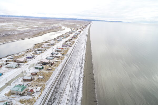
Beautiful northwest Vancouver Island is at higher risk for tsunami hazards due to its open location next to the Pacific Ocean. To better understand these hazards, boost public awareness, and support emergency services, the Strathcona Regional District and project partners — Ka:’yu:’k’t’h’/Che:k:tles7et’h’ First Nations and Nuchatlaht First Nation, with assistance from NHC Ocean Networks Canada, and local governments — launched the Westcoast Tsunami Storymap.
This map, completed using Arc GIS Pro and Arc GIS Online, Story Maps, is NHC’s first story map and was completely developed in-house.

