The U.S. Army Corps of Engineers received $1.8 billion in funding to upgrade Sacramento’s aging flood infrastructure with their non-federal partners in California’s Central Valley Flood Protection Board, the California Department of Water Resources and the Sacramento Area Flood Control Agency. NHC provided technical and design support to the project by identifying levee segments susceptible to failure by river erosion; developing conceptual design alternatives which both mitigated erosion threats and environmental impacts; and was the engineer of record on the first three project sites to be brought to construction on the American River.
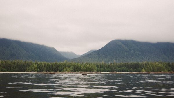
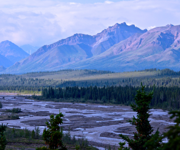
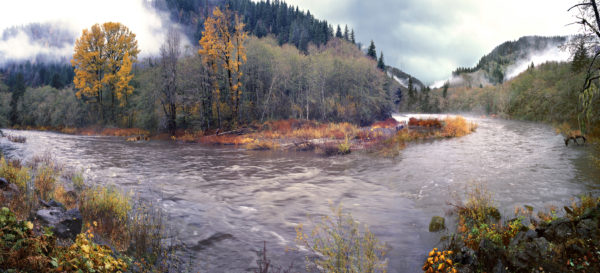
The project included evaluating levees on 11 miles of the Lower American River and 20 miles of the Sacramento River. Both rivers provide habitat for federal, and state listed species. The Lower American River is also a federally and state designated Wild and Scenic River, with a County Parkway within the floodway along much of the project. The project required working closely with our partners institutions to complete semi-quantitative risk assessments and risk informed design to ensure designs would provide public safety while also providing habitat to federally listed species at the water’s edge. NHC participated in diverse stakeholder meetings to assist in the development of the designs.
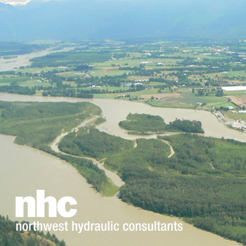
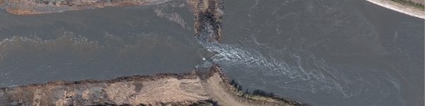
NHC was the designer of record for three sites protecting about 2.25 miles of levee near downtown Sacramento. The longest site, Site 2-3, utilized a novel approach to provide multiple benefits to both the habitat of the Lower American River as well as the flood control project. The site is located where highly erodible sand and silt deposits from historic gold mining in the American River watershed had deposited in the late 1800s and early 1900s. The deposits resulted in steep banks and elevated floodplain that limited floodplain habitat and accessibility, while constraining the river. The Site 2-3 design excavated over 250,000 cubic-yards of material from the bankline which has been stockpiled for later used as fill for levee improvements in the nearby Natomas region. The resulting bank profile reduces water levels during peak flow events reducing the risk of overtopping. The excavation includes planting benches at elevations where natural riparian vegetation will flourish. The combination of vegetation and flatter slopes will limit the likelihood of bank erosion, while buried rock tie-backs limit erosion extents if erosion were to initiate to prevent erosion from reaching the levee. The design provides improvements to ecology of the site by allowing more frequent inundation and access to shallow floodplain habitats to rearing juvenile salmonid, improving recreational access with flatter bank lines, and providing some natural erosion to occur intermittently along the channel.
Site 2-1 construction was completed in the summer of 2022. Revegetation of the site is starting in the fall of 2023. Site 2-2 is currently under construction with completion by winter 2023 and revegetation efforts to follow. Site 2-3 is being completed over a phased approach with some construction being completed in 2022, and revegetation starting in 2023 with the completion of the upstream extent of the site.